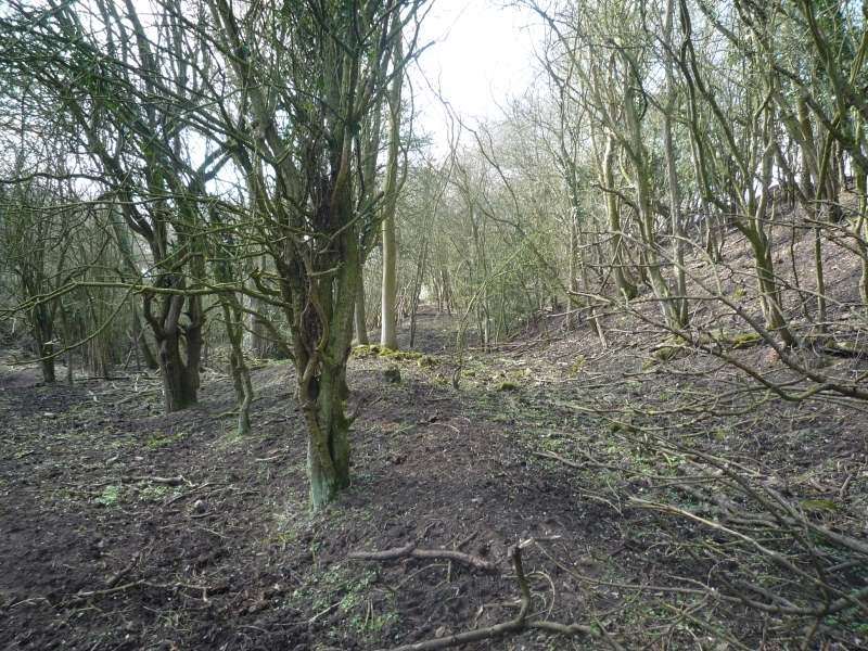
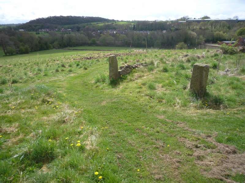
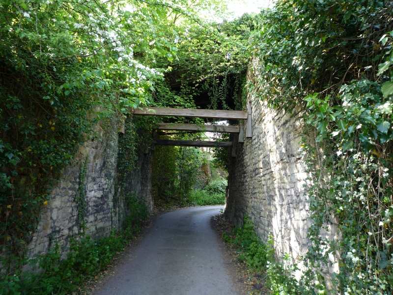
Gangroad Route Today Photographs Back to Archive Butterley Gangroad map Site of the original tunnel into the Warner quarry Route towards the Hat factory Turning area before the Hat factory Approach to Dimple Lane crossing Dimple Lane crossing Hilt’s quarry Approach to the exit from Hilt’s quarry Exit from Hilt’s quarry Top the incline down to the Hat factory Approach to the middle section of the incline MIddle section of the incline Bottom of the incline Engine shed at Hat factory Route south from the Hat factory Site of the Dimple Lane bridge over the line Cutting south of the Hat factory Cutting on the approach to the overbridge Overbridge north of Fritchley Looking north from the overbridge LOoking south from the overbridge Overbridge north of Fritchley Northern section of Fritchley embankment Southern section of Fritchley embankment Fritchley embankment from the DRying Ground Road junction over the Fritchley tunnel Route south from Fritchley View from Bowmer Lane View south from Fritchley Looking north from Bowmer Lane crossing point Approcah to Bowmer Lane crossing Route south to Amber Wharf Final curve to head towards Amber Wharf Approach to bridge over Drover’s Way Entry to Amber Wharf over Drover’s Way bridge Drover’s Way bridge Derelict kilns, Amber Wharf